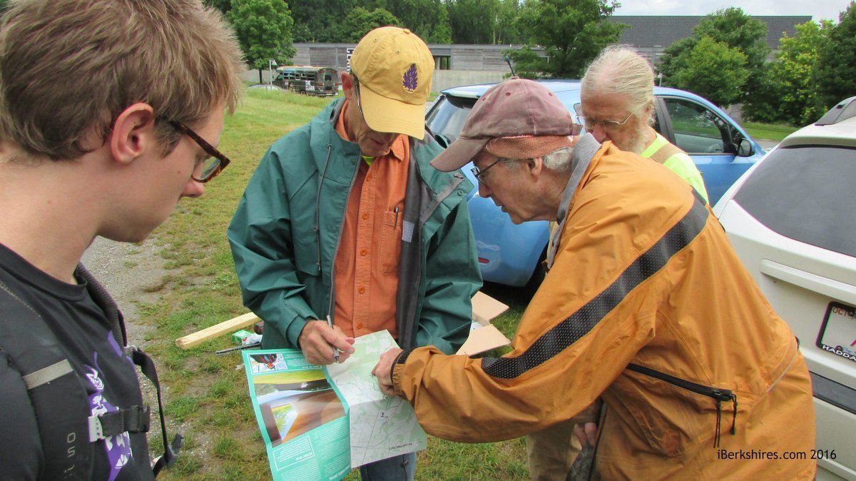
Conservation Commission members Henry Art (green jacket) and Robert Hatton (yellow jacket) go over the work plan with other volunteers in the parking lot of the Clark Art Institute's Lunder Center at Stone Hill.
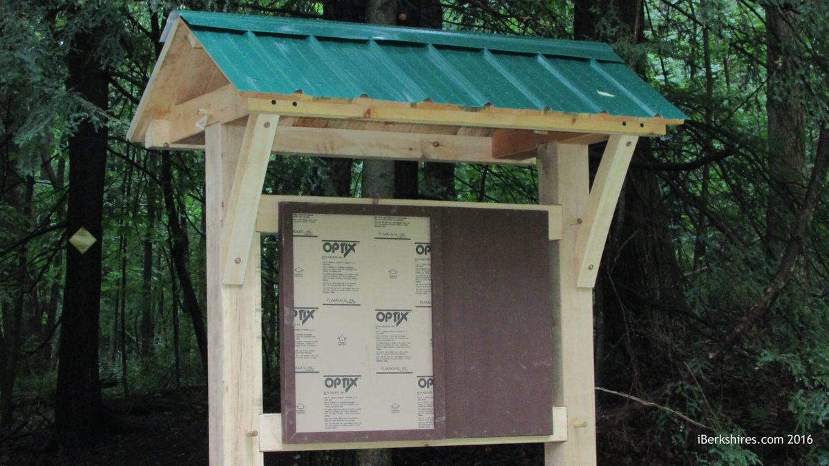
One of two large kiosks being installed this week. The project also includes two smaller kiosks.
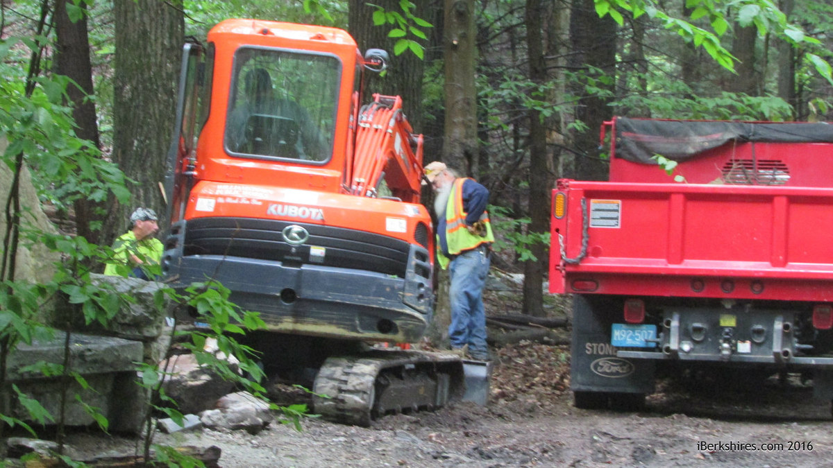
A Williamstown Department of Public Works crew prepares to erect a kiosk near the stone bench on Stone Hill.
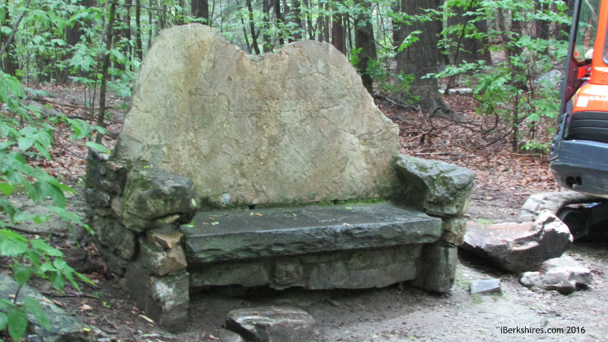
The stone bench on the Stone Hill trail is near where an information kiosk is being erected.
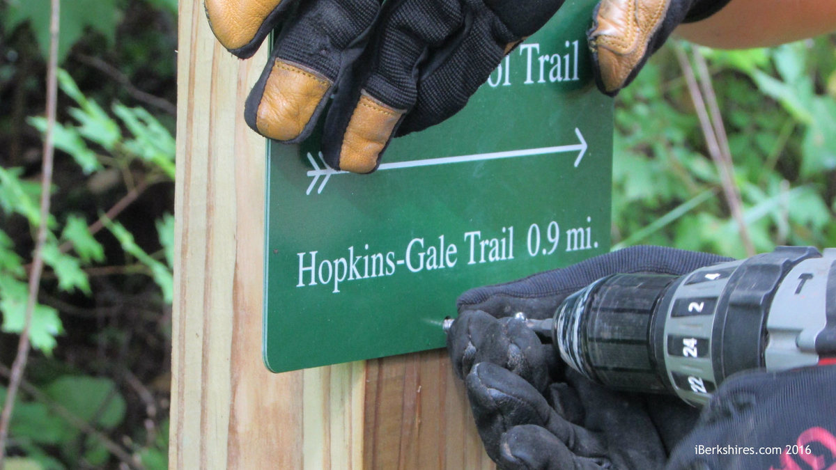
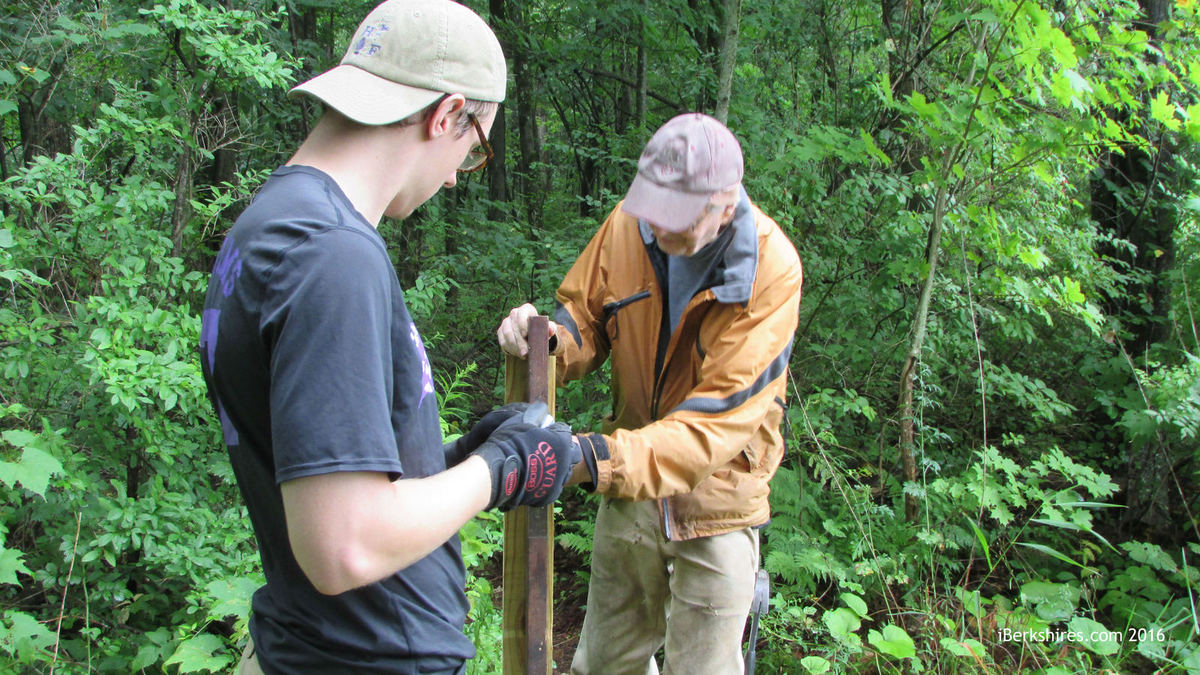
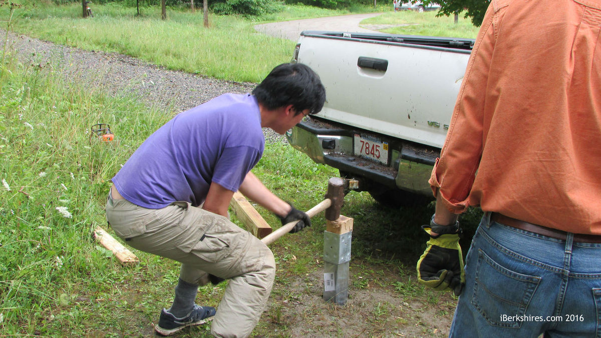
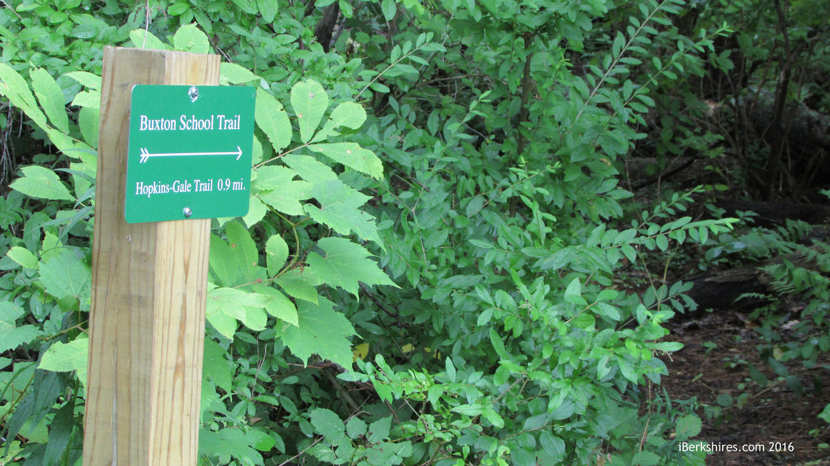
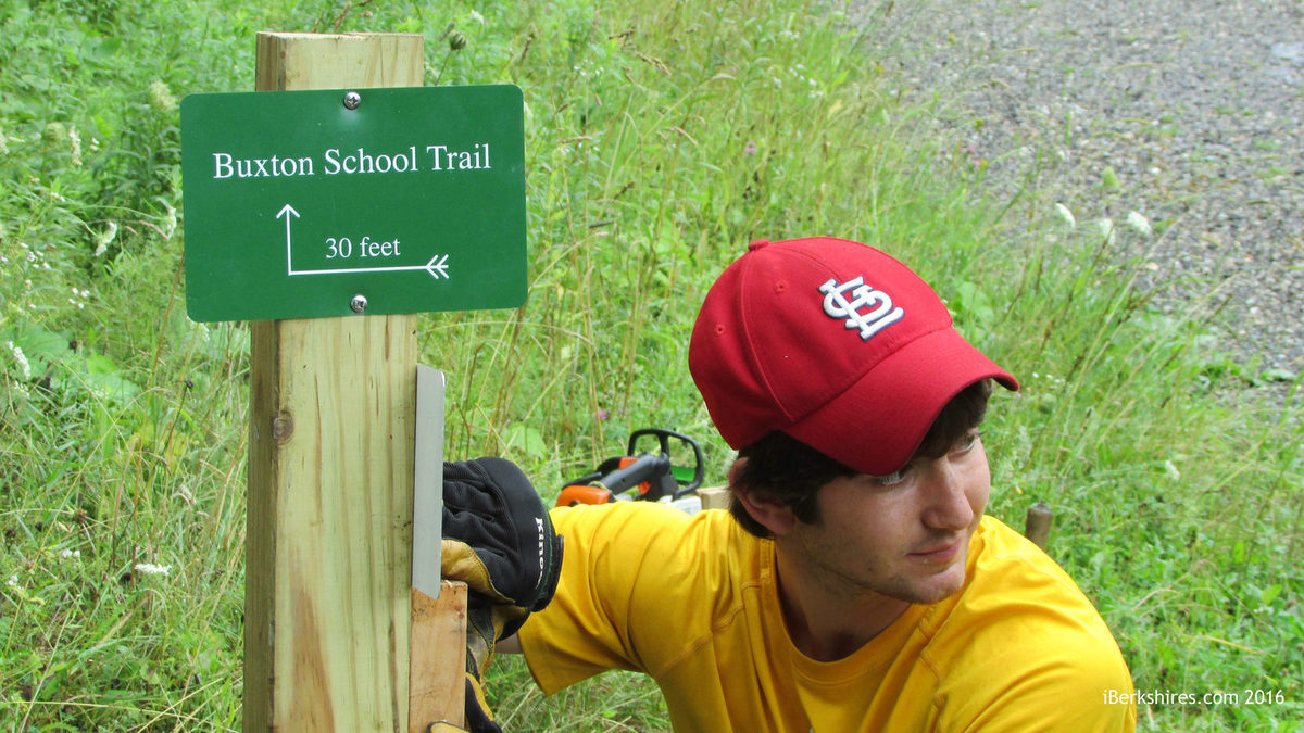
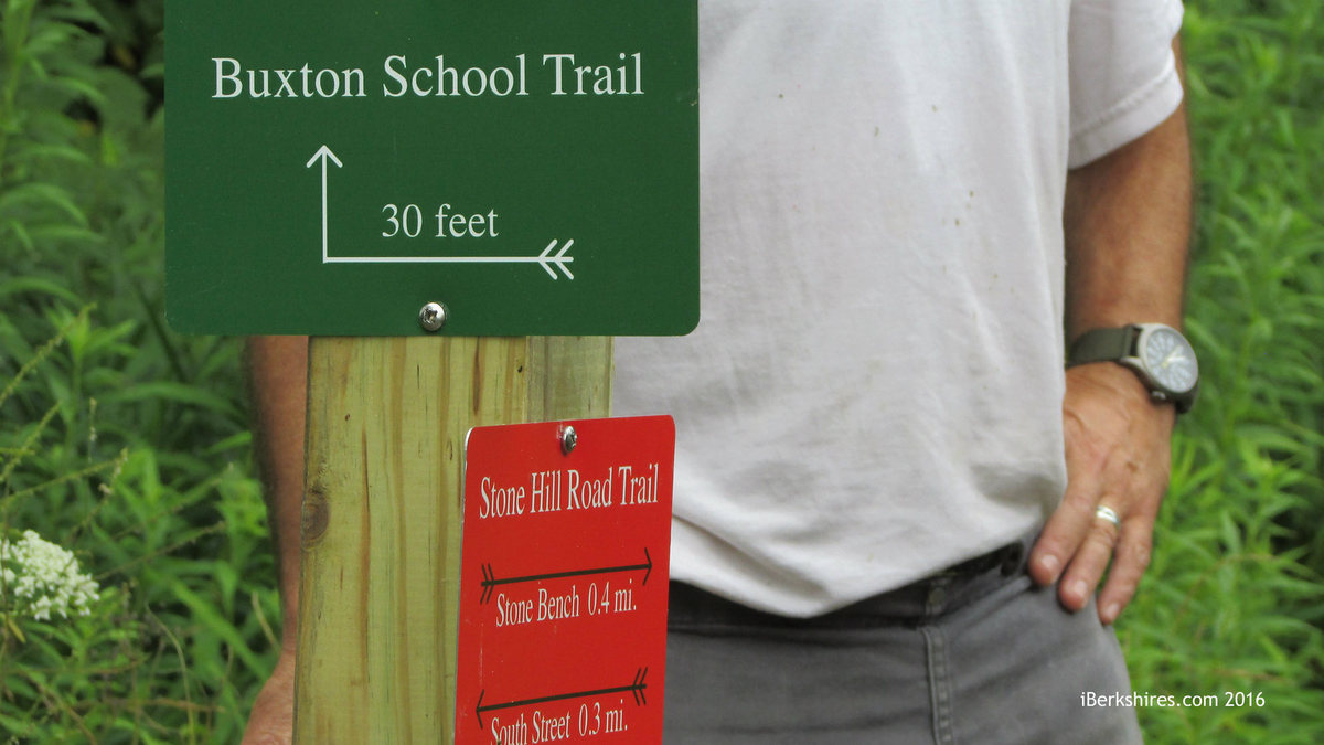
WILLIAMSTOWN, Mass. — A crew of volunteers spent Tuesday installing new trail markers in and around Stone Hill as part of an ongoing project to make town and privately owned hiking trails more accessible and user-friendly.
Scott Lewis from the Williams College Outing Club, three Williams students, members of the town's Conservation Commission and Dustin Griffin from the Williamstown Rural Lands Foundation were among those installing 4-by-4 posts at key locations and hanging color-coded metal markers on posts and trees to direct hikers through a network of trails.
The paths cover property owned by the Clark Art Institute, the town, Williams College, WRLF, the Buxton School and others.
The unified trail system project was funded by the town from Community Preservation Act funds through a vote at May's annual town meeting.
In addition to the small signs, there are five kiosks being installed throughout the network. Those are being erected this week by a crew from the town's Department of Public Works.
"The trails right now are marked," Conservation Commission Chairman Henry Art said at last week's commission meeting. "People are using them.
"I think there is 99.9 percent satisfaction among the folks in town in general in terms of approval for what we're doing. It will only improve once the kiosks are up."
In addition to maps to help orient hikers, the kiosks will include some historical information about the trail to add to the experience. They also will have quick response, or QR, codes like the ones already used on WRLF trails that allow hikers with smart phones to download maps and information.
The Conservation Commission last week took another step toward improving hiking options in town when it voted unanimously to make an improvement at the town-owned Margaret Lindley Park this summer.
A bridge over Hemlock Brook that used to link a trail at the park washed out some years ago, and the commission, which manages the park for the town, has been trying to find a solution to revive hiking possibilities.
"It would be nice to replace the bridge that was trashed by a tree with some sort of stepping stone approach, as opposed to a bridge, which is very expensive, as we know, having done it," Art said in a meeting telecast on the town's community access television channel, WilliNet.
"We found an area where it looks like with some minor moving of existing boulders, you could have five or six boulders to get you across Hemlock Brook without getting your feet terribly wet. It wouldn't work during a flood, but one wouldn't expect a lot of trail use there during a flood anyway."
Far from flooding, this summer's near-drought conditions give the Con Comm a perfect opening to do the stream-bed work that needs to be done, the commissioners decided.
In addition to moving the boulders, the project has one other dimension, Art explained.
"On the north side, the topography is gentle and low," he said, describing the access to the intended stone crossing. "On the south side, we would need to make a slight alteration along the bank to make an S-curve so people could walk gently down to where the crossing is."
The commission decided unanimously to pursue the simple solution to what has been a vexing problem for the body. Commissioner Philip McKnight was charged with coordinating with Rural Lands to set a date for a volunteer work party in August to move the boulders.
In other business last week, the Conservation Commission began reviewing a conservation plan drafted by the Natural Resources Conservation Service for the town-owned Lowry Property, over which the commission has jurisdiction.
For years, the town has issued a three-year permit to local farmer Kim Wells to hay the property off Stratton Road. During the last permit discussion, the Con Comm asked him to approach the NCRS about developing a plan, which he recently presented to the town.
Commissioner Robert Hatton asked whether the NCRS plan went far enough, to which Art replied that it was meant as a starting point and a tool to help the commission manage the property.
The panel agreed to take some time to review the plan individually and discuss it as a group at a later date.
northadams.com welcomes critical, respectful dialogue. Name-calling, personal attacks, libel, slander or foul language is not allowed. All comments are reviewed before posting and will be deleted or edited as necessary.

 MEMBER SIGN IN